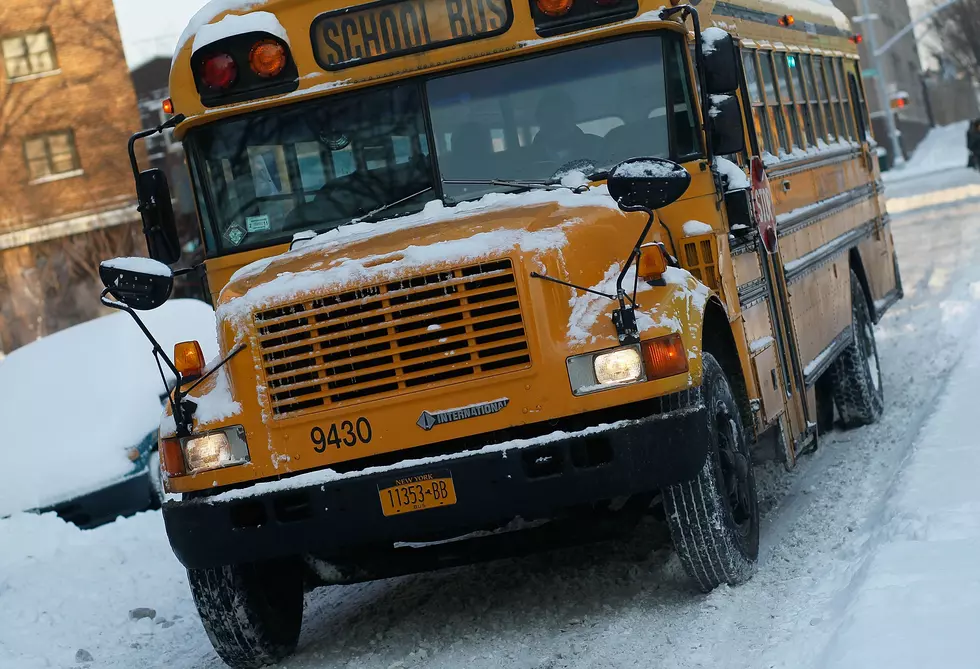

Winter Weather Forecasted for the Ark-La-Tex Region this Weekend
The National Weather Service, Texas D.P.S., and AEP Swepco are wanting all to be aware of winter weather expected this weekend across the Ark-La-Tex.
The National Weather Service in Shreveport issued this this Hazardous Weather Outlook statement.
THIS HAZARDOUS WEATHER OUTLOOK IS FOR PORTIONS OF SOUTH CENTRAL
ARKANSAS...SOUTHWEST ARKANSAS...NORTH CENTRAL LOUISIANA...
NORTHWEST LOUISIANA...SOUTHEAST OKLAHOMA...EAST TEXAS AND
NORTHEAST TEXAS.

.DAY ONE...THIS AFTERNOON AND TONIGHT...

A SLIGHT CHANCE OF LIGHT FREEZING RAIN OR SLEET WILL BE POSSIBLE
AFTER MIDNIGHT ACROSS THE SOUTHWEST SECTIONS OF EAST TEXAS SOUTH
OF INTERSTATE 20. HOWEVER...NO ICE ACCUMULATIONS ARE EXPECTED.

.DAYS TWO THROUGH SEVEN...FRIDAY THROUGH WEDNESDAY...

SCATTERED AREAS OF LIGHT FREEZING RAIN AND SLEET WILL BE POSSIBLE
THROUGH MID MORNING FRIDAY ACROSS THE SOUTHWEST SECTIONS OF EAST
TEXAS SOUTH OF INTERSTATE 20...BEFORE TEMPERATURES CLIMB ABOVE
FREEZING AND THE PRECIPITATION CHANGES OVER TO RAIN. PATCHY ICE ON
BRIDGES AND OVERPASSES CAN NOT BE RULED OUT SOUTH OF A NACOGDOCHES
TO HEMPHILL TEXAS LINE SHOULD THIS PRECIPITATION AFFECT THESE
AREAS WHILE TEMPERATURES ARE BELOW FREEZING.

ANOTHER ROUND OF FREEZING RAIN IS EXPECTED TO DEVELOP SATURDAY
NIGHT...ESPECIALLY OVER NORTHEAST TEXAS NORTH OF INTERSTATE
20...SOUTHWEST ARKANSAS...AND EXTREME SOUTHEAST OKLAHOMA. AT THIS
TIME...ICE ACCUMULATIONS OF UP TO A TENTH OF AN INCH WILL BE
POSSIBLE THROUGH SUNDAY MORNING...WITH LIGHTER ICE ACCUMULATIONS
POSSIBLE FARTHER SOUTH TO THE INTERSTATE 20 CORRIDOR OF EAST TEXAS
EXTENDING EAST INTO NORTHWEST LOUISIANA. SOME ICE ACCUMULATIONS
ARE POSSIBLE ESPECIALLY ON BRIDGES AND OVERPASSES...TREES AND
POWER LINES LATE SATURDAY NIGHT THROUGH SUNDAY MORNING...BEFORE
THE ICY THREAT ENDS DURING THE AFTERNOON ONCE TEMPERATURES CLIMB
ABOVE FREEZING. PERIODS OF A COLD RAIN WILL CONTINUE THROUGH THE
REMAINDER OF SUNDAY AFTERNOON THROUGH MONDAY MORNING...BEFORE
DIMINISHING FROM WEST TO EAST. SCATTERED SHOWERS WILL AGAIN BE
POSSIBLE TUESDAY AND WEDNESDAY WITH THE APPROACH OF ANOTHER UPPER
LEVEL DISTURBANCE FROM THE WEST.
The Texas Department of Public Safety issued this press release.
AUSTIN – The Texas Department of Public Safety (DPS) is urging Texans to prepare for an arctic cold front impacting parts of Texas through the weekend. Forecasts indicate the possibility of below freezing temperatures, light snow, sleet and freezing rain across a large portion of the state.
“As the latest cold front moves across much of the state, DPS is advising Texans to prepare for freezing temperatures and winter precipitation. Light snow, freezing rain and sleet in some areas could create hazardous driving conditions,” said DPS Director Steven McCraw. “Texans should closely monitor the weather conditions in their area and use extra caution if they are driving in affected regions.”
In preparation for possible winter weather, the Texas State Operations Center – in coordination with Texas Highway Patrol and several state agencies, including the Texas Department of Transportation, Texas Parks and Wildlife Department, Texas A&M Forest Service, and Texas Military Forces – will continue to monitor weather conditions and maintain close contact with National Weather Service local forecast offices across the state.
DPS offers the following tips for staying safe during this weather event:
- Avoid unnecessary travel if possible, monitor local weather broadcasts, and follow up-to-the-minute weather conditions at http://www.weather.gov/.
- Remember that ice forms first on bridges, overpasses and shady areas.
- On icy roads, drive slowly, increase distance needed for stopping, and avoid using cruise control.
- Watch for downed trees and power lines across roads. If power is out, treat all intersections as four-way stops.
- Make sure your vehicle is properly maintained before any trip – check fluid and antifreeze levels.
- Don’t drink and drive and buckle up everyone in the vehicle.
For more information on road conditions statewide, check www.drivetexas.org or call 800-452-9292.
In addition, here is a list of emergency supplies drivers can keep in their vehicle:
- Blankets/sleeping bags, extra clothing, mittens, hat
- Cell phone, radio, flashlight, extra batteries
- First-aid kit and pocket knife
- High-calorie nonperishable food, bottled water
- Sack of sand or cat litter to provide traction for tires
- Windshield scraper, tool kit, booster cables, tow rope and shovel
Texarkana Electricity provider AEP Swepco tries to keep customers informed at their Facebook Page.
More From Good Time Oldies 107.5